
Rainwater drain channels and river beds crisscross this region in central Algeria.
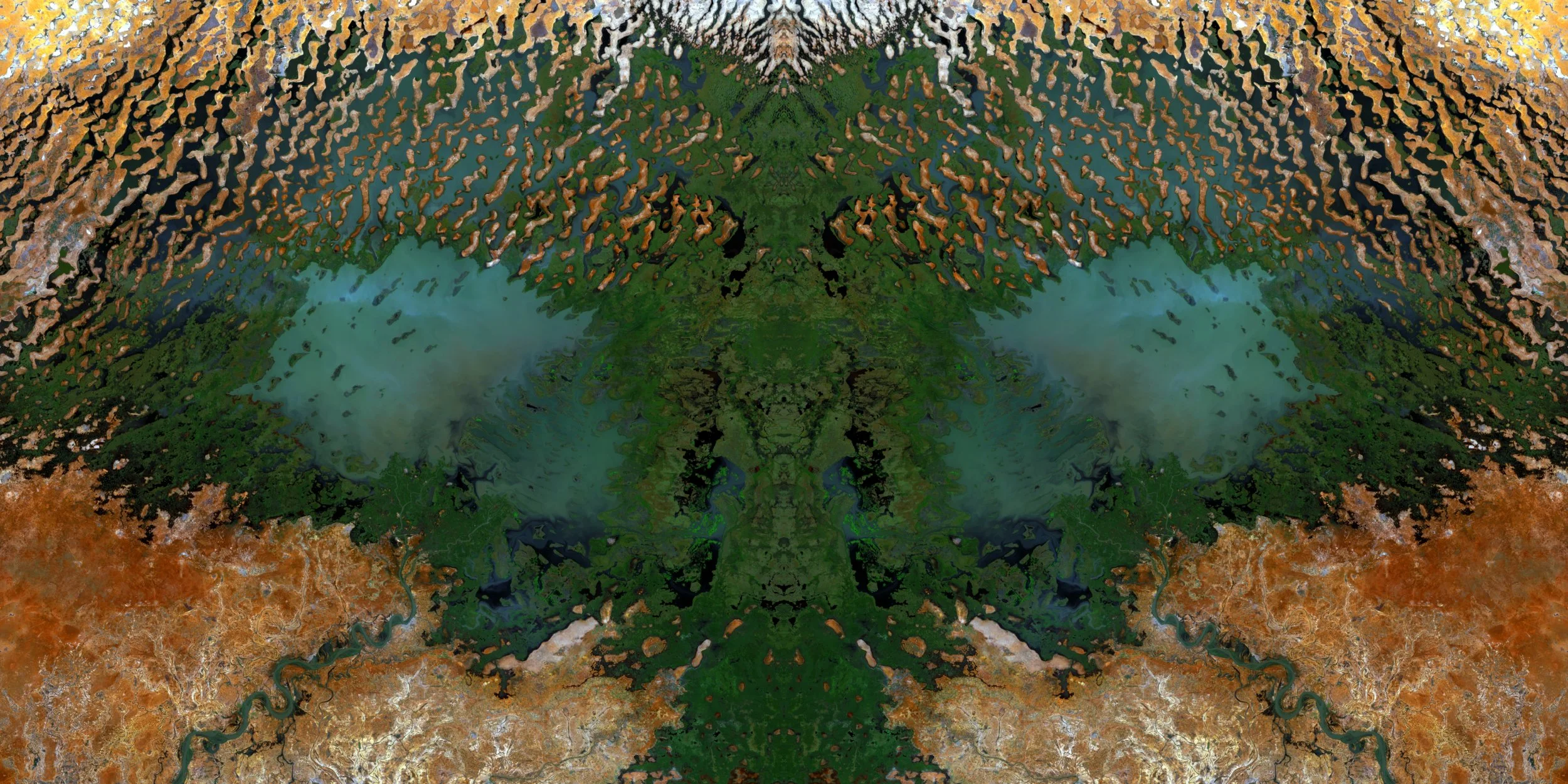
A view of part of Lake Chad spanning across the borders of Chad, Cameroon and Nigeria. This particular piece reminds me of the head of a Praying Mantis.
Layers of fractured rock are visible in this region just south of Emi Koussi volcano, part of the Tibesti Mountains in North West Chad.

This piece is of Eastern Eritrea covering a variety of structures from Mountains to river networks (darker shades) to the Red Sea coast (lighter shades).

Part of the Afar Depression in North East Ethiopia where the Earth's crust is rifting apart at a rate of up to 2 cm per year.

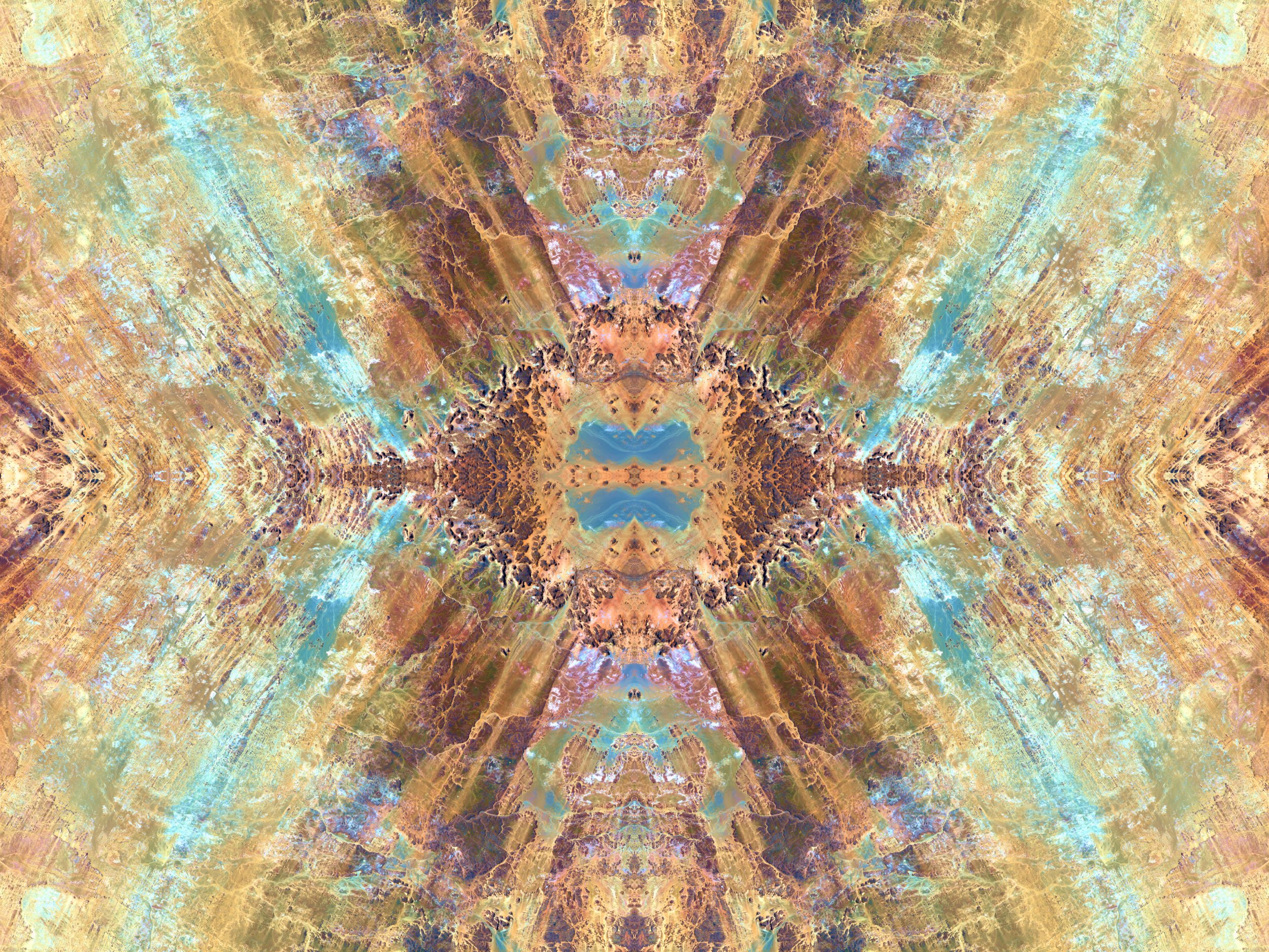
Salt mounds are visible on this dry salt lake bed (center) in Afar, North East Ethiopia, surrounded by terrain fractured by the region's tectonic plate activity.

Jijiga, Ethiopia, and its many contour farms that trace the shapes of the hilly and mountainy terrain of this region.

Tekeze Reservoir (dark shades) is a large body of water surrounded by the highlands and mountains in North Ethiopia and contained by Tekeze Dam.

Saline and alkaline Lake Magadi (dark shades) and the volcanic rocks surrounding it covering a region in South Kenya near the Tanzanian border.

Betsiboka Estuary: The prominent feature in this image is sediment eroding into the ocean caused by heavy deforestation of the region.

The Richat Structure, aka the Eye of the Sahara, West Mauritania: For obvious reasons, I've named this piece Desert Owl.

The intermittent river Saquia el-Hamra of Western Sahara and the flood water channels that feed it during the rare times when this desert region gets precipitation.

A remote region of Western Sahara. A lot of dry river beds are visible giving hints of this desert region's wet past.